Local Walks
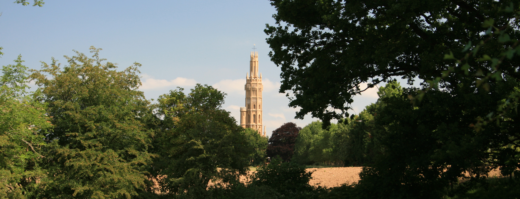
Hadlow has a range of footpaths, walks and countryside trails for you to explore.
We now have four great Hadlow Walks for you to take around our beautiful village and countryside. Let’s hope the weather holds out over the next few months, but if not, remember to dress appropriately for the weather conditions and enjoy getting outside and exploring!
Discover local attractions, businesses and services in and around Hadlow Parish.
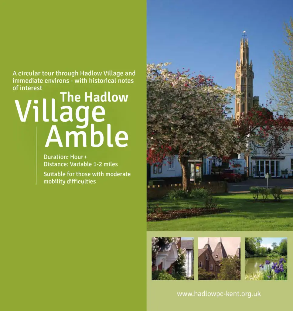
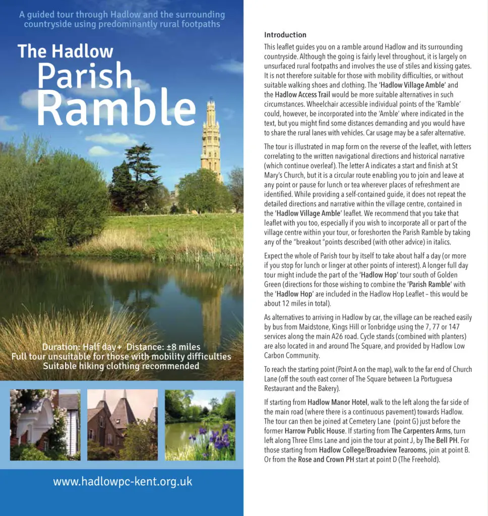
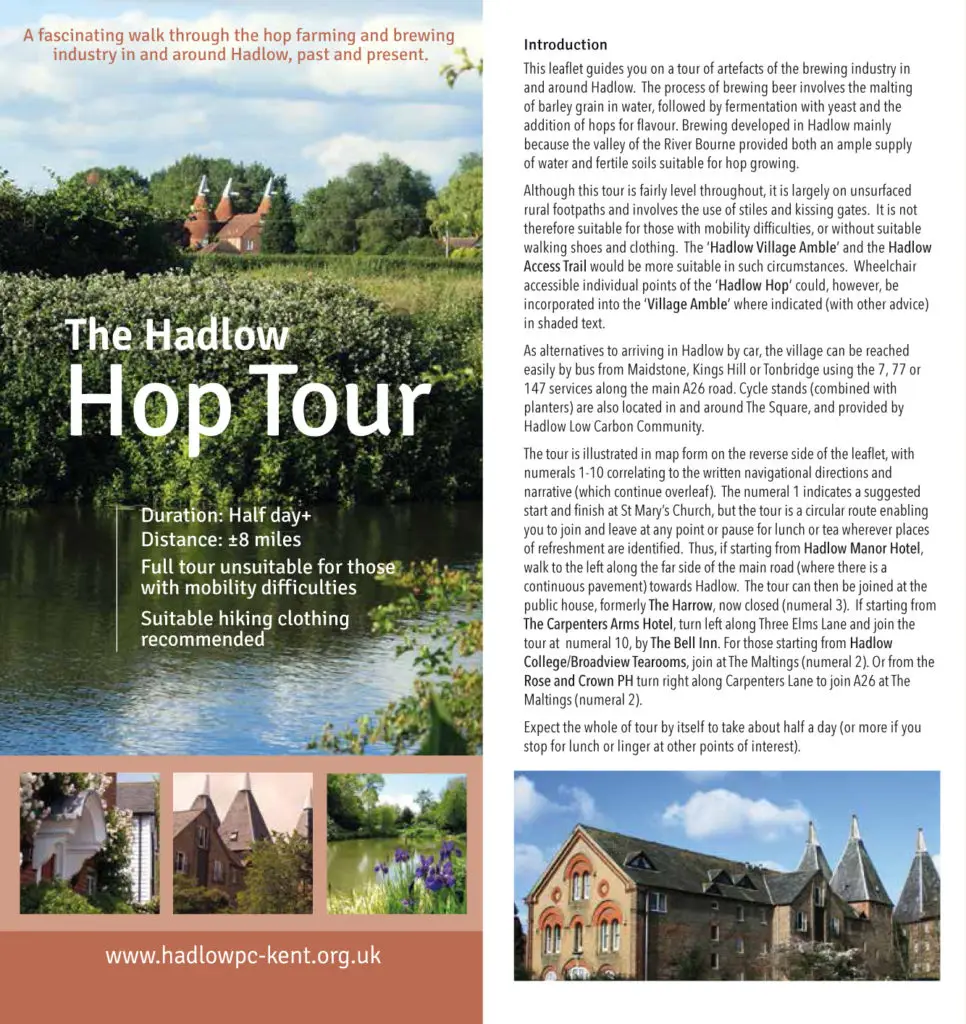
There are walks of varying distances and degrees of suitability for those with mobility difficulties, all embellished with notes of historical interest.
Whether you are a local or a visitor, these tours will give you a new perspective on the village and the surrounding countryside.
(Leaflets are not in an accessible format due to the nature of how or when they were produced. To request the information in an alternative format, please contact the Parish Office. You can view our accessibility statement here).
The Bourne Valley Walk
The Bourne Valley Walk (10 miles) runs from Ightham in the north, through Stallions Green, passing by Bourne Mill, Hadlow village centre and on through Golden Green to join the River Medway at East Peckham.
The River Bourne runs roughly north/south from the Greensand Ridge to the River Medway. Several springs feed into the headwaters of the Bourne but, depending upon the informant, the main source is either a spring on the North Downs at New House Farm, Yaldham or a spring to the west of Oldbury Hill, which is claimed by the Environment Agency. However, the most romantic spring rises on Olbury Hill itself which feeds into a magical tree-ringed pond called the Waterflash by an ancient trackway and thence down the north side of the Iron Age hillfort.
To the many springs may be added many names for the river – the Shode, the Sheet, the Busy and, most commonly, the Bourne.
It’s a secretive river, its waters only occasionally glimped, especially in summer when the banks are shaded by nettles and tall grasses, but it’s also beena productive river, its waters used to drive numerous mills. Although the sites of some are only identifiable by a few remaining stones, others have been converted to new uses. Sadly in all cases the wheels are now missing.
The dedication of this walk was undertaken as part of Hadlow’s Millenium celebrations.
The 10 mile (16km) route runs from Ightham in the north to the river Medway in the south, passing through 8 parishes along the way.
All the paths shown are definitive rights of way except for the stretch between Pierce Mill Lane and Little Mill which is permissive and at the discretion of the landowner. Some road walkking is involved. For the most part this is along reasonably quiet country lanes, although care must still be taken. At Igtham (A227), Hadlow High Street (A26) and Little Mill road walking is on pavements.
For those who are interested in the history of Oldbury Hill there are information boards at access points to the fort. There is a waymarked route around the encampment with route cards available from KCC Planning Department.
This leaflets is available from the Parish Office. Alternatively, you can download it by clicking on the map above.
The Access Trail
The Hadlow Access Trail follows a circular route from the village centre and is approximately 1.5 miles long. It is relatively flat and four kissing gates allow easy access for people with pushchairs or mobility scooters.
The circular trail starts in the village centre and is approximately 1 1/2 miles long (2.5km). The aim is to make the local countryside more accessible to young and old alike.
Although this is a rural route the path’s surface is relatively flat and even and there are four kissing gates to allow easy access for people with pushchairs and also wheel chair and mobility scooter users (with a RADAR key), but exclude adult bikes, trail bikes and horses.
The trail starts by the gate to the churchyard at the top of Church Street. The view up this short street is much the same as it was 300 years ago. Number 1 has a 16th or 17th century framed structure although the exterior is late 18th century. Cobblestones, with its bow fronted window, was built about 1800 and was originall part of the coach house and stables to the adjacent former Kings Head Inn. The Inn, now called Church Place, was a popular centre for bare-knuckle fighting and durying the hop harvest hopeful contestants would walk for miles to fight in the yard behind the pub. The pavement is made from stable yard bricks, cross-hatched to stop horses slipping, they now aid church-goers in icy conditions!
This leaflets is available from the Parish Office. Alternatively, you can download it by clicking on the map above.
Hadlow River Walk
This walk takes you from Hadlow down to a quiet stretch of river.
This walk takes you from Hadlow, following part of the access trail through fields and down to the River Medway. The walk is fairly flat, with only very small sections of road. During the winter, some of the fields can become very waterlogged. Please keep dogs on leads.
Distance: 4.5 miles (7.3 km) – allow 2 hours
Start/ finish: Hadlow, The Forstal
Ground conditions: Reasonable at, some parts can be waterlogged after rain
Views: There are some good views of the Medway Valley, complete with Oast Houses
Refreshments: The Bell Inn is on route (01732 851748), or there are various shops selling refreshments in Hadlow
Toilets: There are public toilets in Hadlow
Grid Ref: Walk start at Hadlow – TQ 636, 497
Ordnance Survey map: Explorer 136
Walk for Wellbeing
Getting active can be difficult, but we’re here to help. With Tonbridge & Malling Walk 4 Wellbeing you can take part in a free, short walk nearby to help you get active and stay active at a pace that suits you. Tonbridge & Malling Health Walks are free, fun and friendly.
Our Hadlow walk takes place every Thursday morning from 10.30.
Hadlow Parish Council
The Parish Office
Hadlow Old School Hall
Hadlow
Kent TN11 0EH
Phone: 01732 851878
Email: clerk@hadlowpc.co.uk


